Latimers Landing Road Conditions
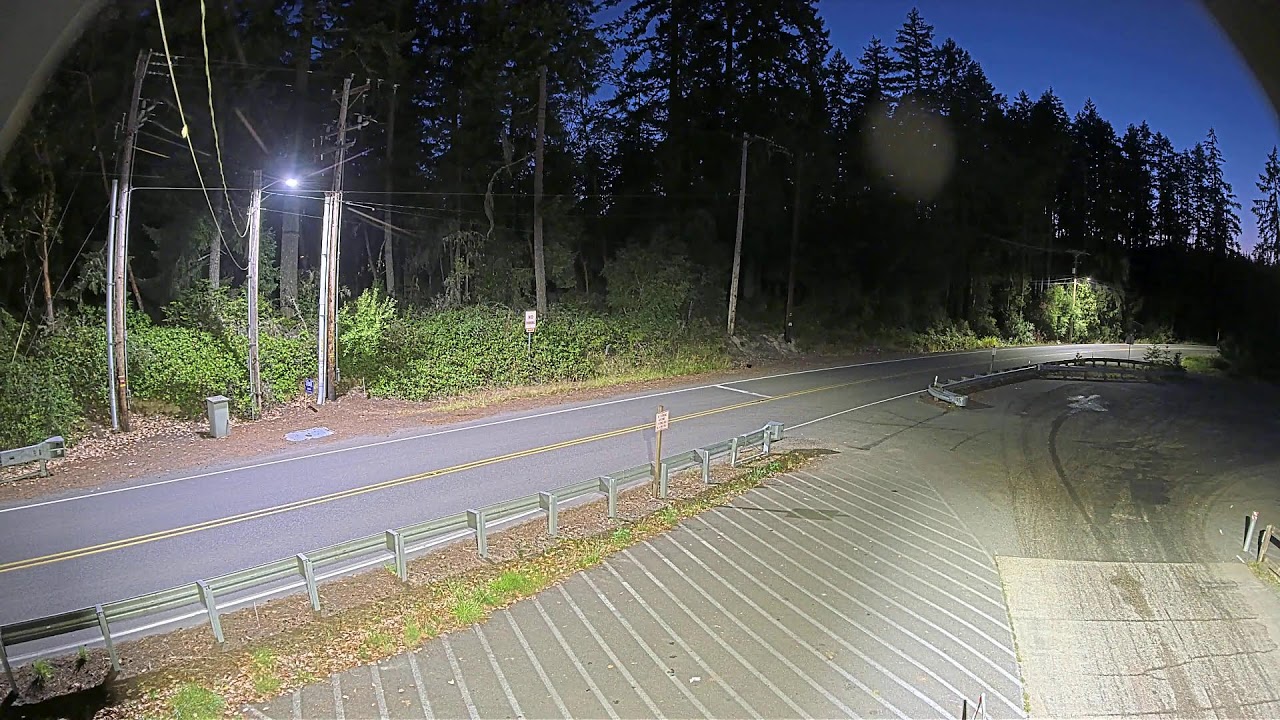
OnlineThis live camera watches the road conditions at Latimers Landing, looking west toward the Harstine Bridge that spans Pickering Passage. A quiet two-lane road hugs a forested shoreline beside the public boat launch, giving travelers a real-time look at this scenic corner of Mason County.
About This Webcam
Everything you need to know about this live stream
The Road to Harstine Island
This camera overlooks the approach to Latimers Landing, the mainland gateway to Harstine Island. The two-lane road curves toward the Harstine Bridge, the fixed span that carries traffic across Pickering Passage and links the island to the rest of Mason County, Washington.
A Working Boat Launch
Beside the road sits a public boat launch managed by the local public utility district, a popular put-in for kayakers, anglers, and boaters exploring the South Puget Sound inlets. The parking area and ramp make this a busy hub for recreational access to the water.
Forest and Shoreline Scenery
Tall evergreen forest presses right up to the roadside, framing the view with Pacific Northwest conifers. The setting captures the understated character of rural western Washington, where quiet roads thread between wooded hills and saltwater shorelines.
A Practical Travel Tool
Maintained as a road-conditions feed, this view helps residents and visitors check the route before making the crossing to Harstine Island. It is a small but useful window on daily life in this Puget Sound community.
Location Details
Latimers Landing
Shelton, Mason County, Washington, United States
North America
Timezone
Los_Angeles
America/Los_Angeles (UTC7)
GPS Coordinates
47.2469°, -122.9297°
Current Weather
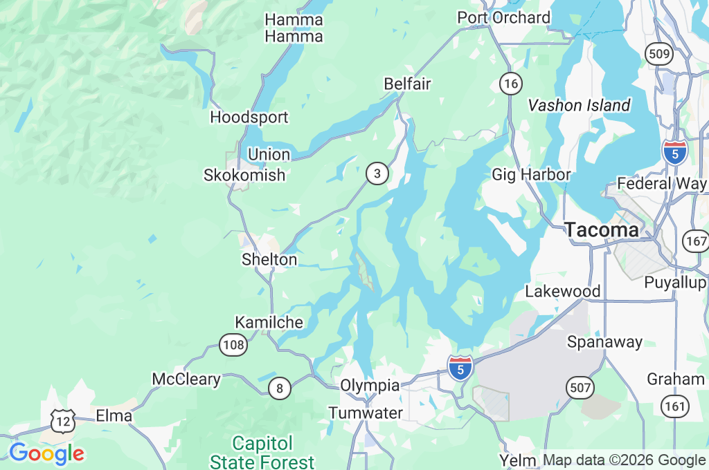
© Open-MeteoInteractive Map - Latimers Landing Area
LIVE CAM
Click to Interact
Explore the interactive map
Similar Webcams
Explore other exciting destinations in the same or related category