Queen Isabella Causeway
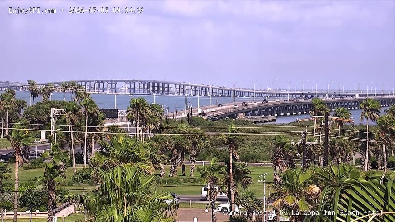
OnlineA sweeping view of the Queen Isabella Memorial Causeway, the graceful arched span that links South Padre Island to the mainland across the shimmering Laguna Madre. Watch a steady flow of traffic glide over the bay while swaying palms frame the shoreline in the foreground.
About This Webcam
Everything you need to know about this live stream
The Queen Isabella Causeway
Stretching for nearly two and a half miles, the Queen Isabella Memorial Causeway is the longest bridge in Texas and the sole road link between the barrier-island resort of South Padre Island and the town of Port Isabel on the mainland.
The Laguna Madre Setting
The causeway crosses the Laguna Madre, one of the world's few hypersaline lagoons and a haven for herons, pelicans and migrating shorebirds. Its calm, glassy waters mirror the bridge's elegant arch.
A Coastal Gateway
Framed by tropical palms and coastal dune vegetation, this vantage captures the rhythm of island life — vehicles crossing to the beaches, boats plying the bay, and the wide Gulf-coast horizon beyond.
Location Details
South Padre Island
South Padre Island, Cameron County, Texas, United States
North America
Timezone
Chicago
America/Chicago (UTC5)
GPS Coordinates
26.0848°, -97.1675°
Current Weather
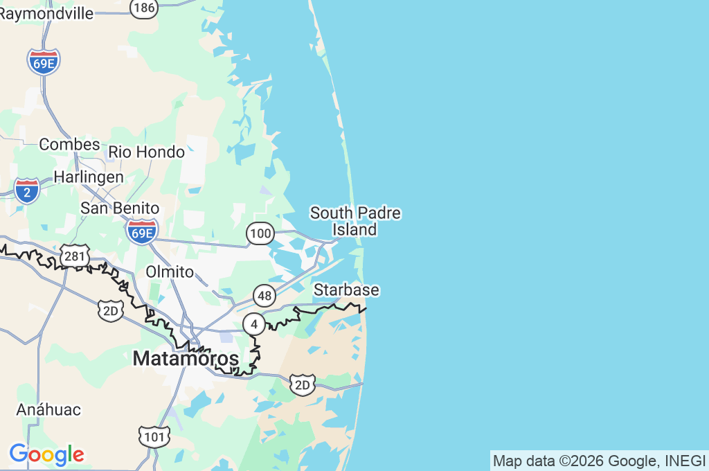
© Open-MeteoInteractive Map - South Padre Island Area
LIVE CAM
Click to Interact
Explore the interactive map
Similar Webcams
Explore other exciting destinations in the same or related category