Shirakawa River City Bridge View
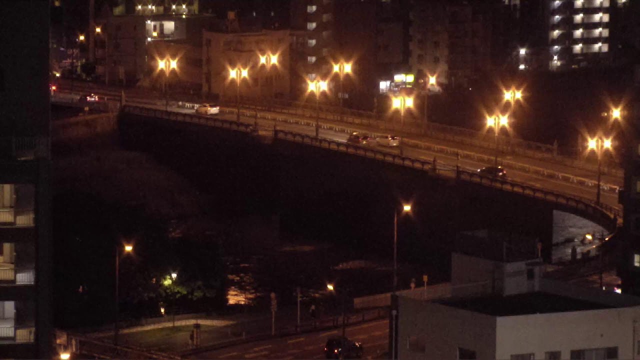
OnlineThis elevated camera frames the Shirakawa River as it carves through the heart of Kumamoto, with a graceful arched road bridge spanning the green-banked channel. Apartment towers, busy streets and pedestrians fill the urban riverside, while cyclists and traffic stream steadily across the deck. It is a lively, ever-changing portrait of one of Kyushu's largest cities at the water's edge.
About This Webcam
Everything you need to know about this live stream
The Shirakawa River
The Shirakawa is one of Kumamoto's defining waterways, flowing down from the slopes of Mount Aso and threading through the dense city center before reaching the Ariake Sea. Its broad, vegetation-lined channel and gravel bars are a familiar feature of the central-city landscape.
The River Bridge
A curved road bridge arcs across the channel in the foreground, carrying a constant flow of cars, vans and cyclists. The graceful span and its riverside approaches form the visual anchor of the scene and a key link between districts of the city.
Urban Kumamoto
Behind the river rises the skyline of central Kumamoto, a mix of mid-rise apartment blocks, offices and tightly packed streets. The view captures the everyday rhythm of pedestrians, traffic and city life along the banks.
Heart of Kyushu
As the largest city on the western side of Kyushu, Kumamoto blends a working urban core with its riverside setting. This vantage offers an authentic, unfiltered look at the city where the Shirakawa meets daily life.
Location Details
Shirakawa River
Chuo Ward, Kumamoto, Kumamoto Prefecture, Japan
Asia
Timezone
Tokyo
Asia/Tokyo (UTC+9)
GPS Coordinates
32.7925°, 130.6975°
Current Weather
© Open-MeteoInteractive Map - Shirakawa River Area

LIVE CAM
Click to Interact
Explore the interactive map
Similar Webcams
Explore other exciting destinations in the same or related category