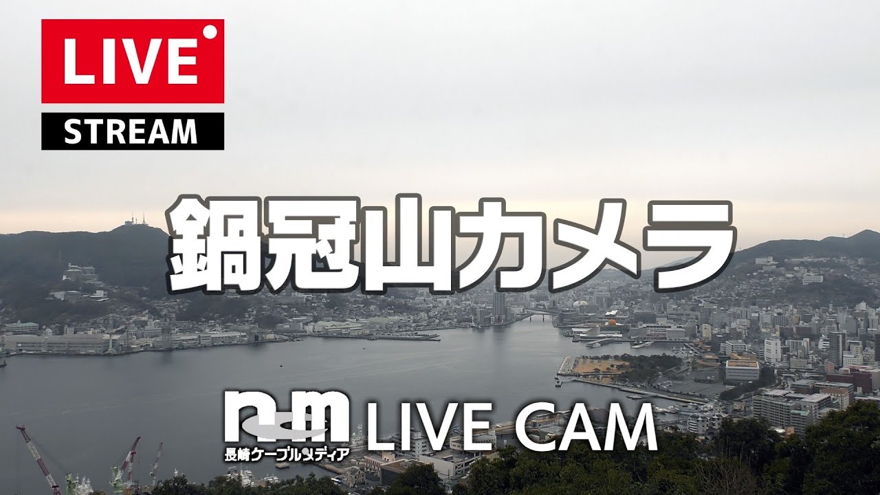
Mt. Nabekanmuri Harbor View
OnlineFrom the summit of Mount Nabekanmuri, this camera surveys the full curve of Nagasaki Harbor, where ferries, cargo ships and fishing boats weave between the hillside districts that ring the water. The 169-meter vantage frames the port's cranes, bridges and waterfront streets in one continuous sweep. It is one of the most celebrated urban panoramas in Kyushu, drawing visitors to its observation deck year-round.
About This Webcam
Everything you need to know about this live stream
A Harbor Framed by Hillsides
Nagasaki's compact natural harbor curls between steep, terraced hillsides, and Mount Nabekanmuri's 169-meter summit sits directly above the channel's narrowest point. The camera's elevated angle captures the full arc of the waterway, from the inner port basin to the open sea beyond, with the city's dense rooftops climbing the slopes on either side.
A Working Maritime Crossroads
The harbor below has served as one of Japan's principal gateways for centuries, and today its docks handle everything from car ferries and container vessels to the shipyards' massive dry-dock cranes. Watching the steady procession of traffic move beneath the mountain reveals a working port that never fully pauses, its channel markers and berths threaded between bridges and breakwaters.
A Celebrated Observation Deck
The summit's observation platform is a favorite among locals and travelers seeking an unobstructed, elevated overlook of the city and its bay. Reached by a short approach road and walking path, the deck frames Nagasaki's distinctive bowl-shaped geography — a compact urban core wrapped tightly around a working harbor, all visible in a single sweeping view.
Location Details
Mt. Nabekanmuri Observatory
Izumo, Nagasaki, Nagasaki, Japan
Asia
Timezone
Tokyo
Asia/Tokyo (UTC+9)
GPS Coordinates
32.7295°, 129.8689°
Current Weather
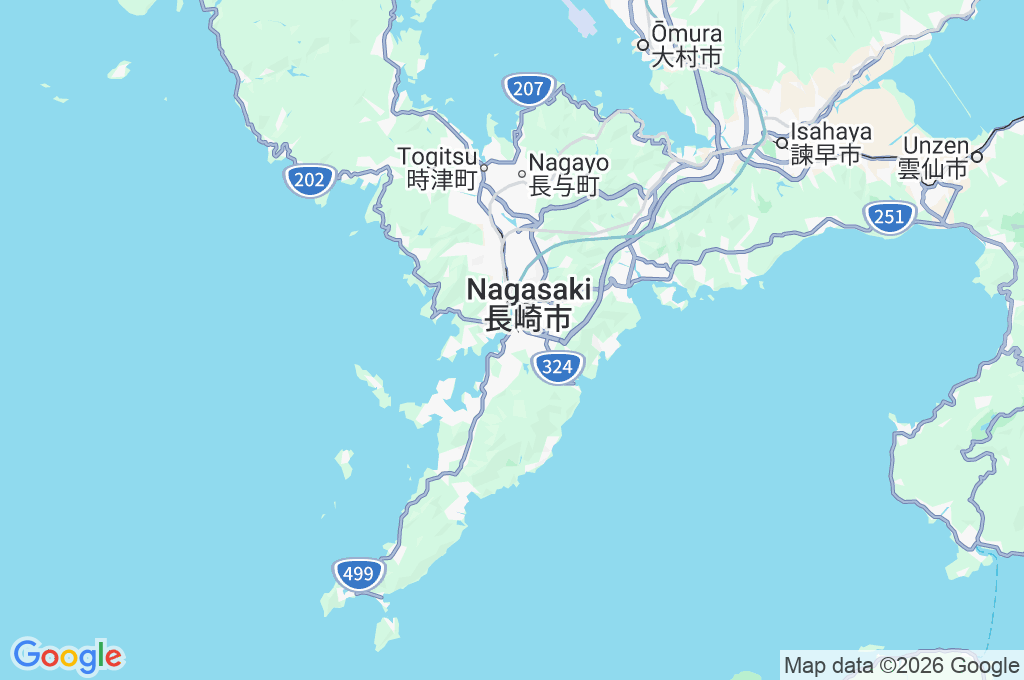
© Open-MeteoInteractive Map - Mt. Nabekanmuri Observatory Area
LIVE CAM
Click to Interact
Explore the interactive map
Similar Webcams
Explore other exciting destinations in the same or related category